(010) 303-300

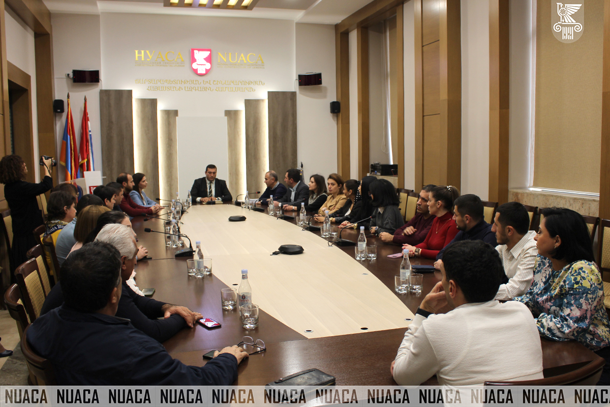
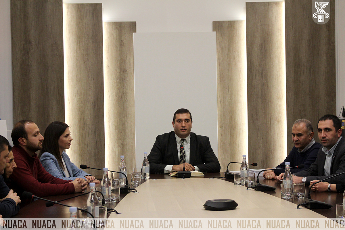
The first phase of the Geospatial Data Management (GIS) training program was implemented at National University of Architecture and Construction of Armenia. Forty-two employees of the “Geomatics Center”, “Information Technology Center”, Geodesy and Land Management Department, and territorial divisions of the Internal Control Department of the Cadastre Committee of the Republic of Armenia participated in the course and successfully completed it.
The following training courses were carried out within the framework of the program:
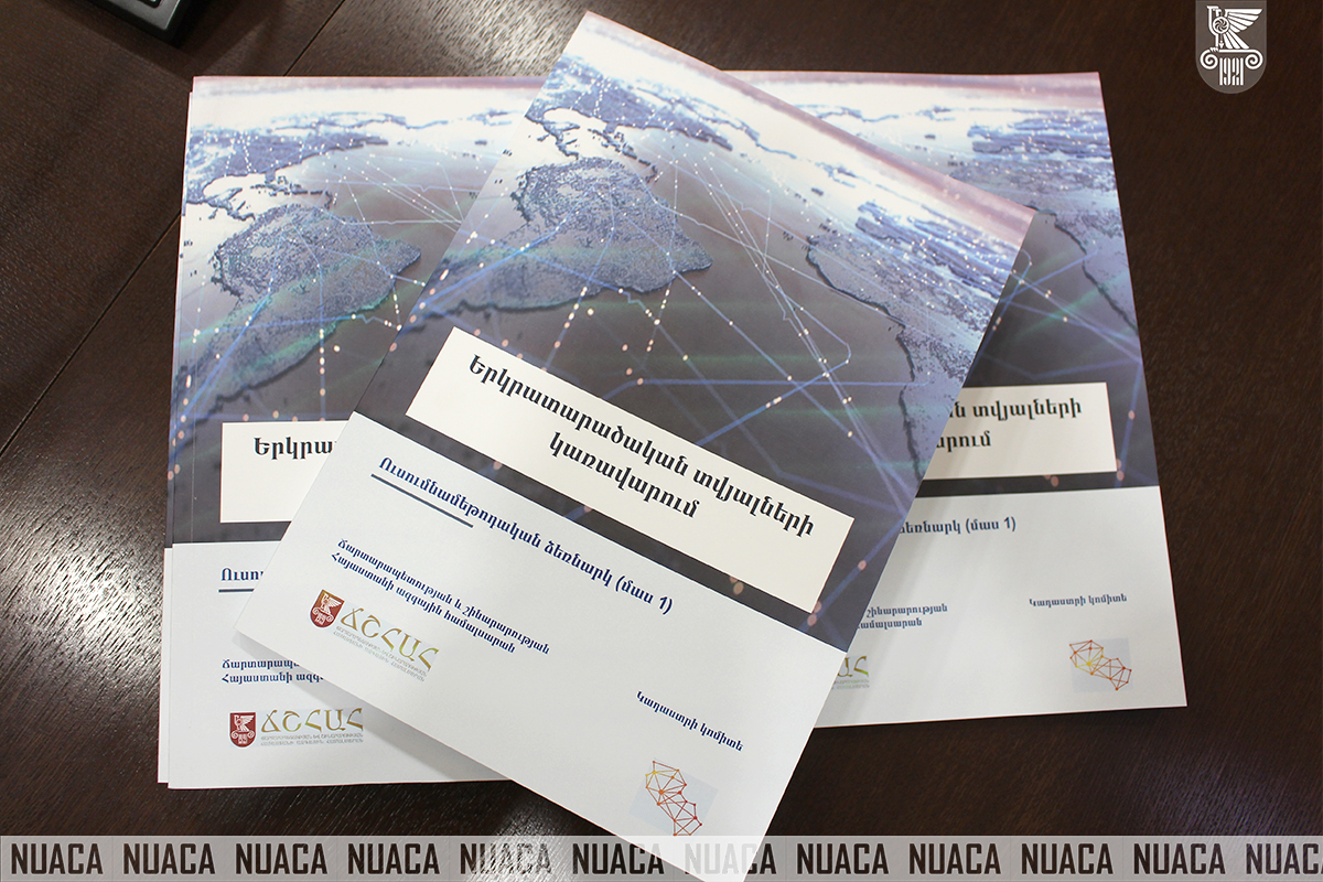
Based on the content of the courses, a manual has been prepared, which can be useful both for the employees who have participated in the course and those who have not, as well as for the newly hired employees.
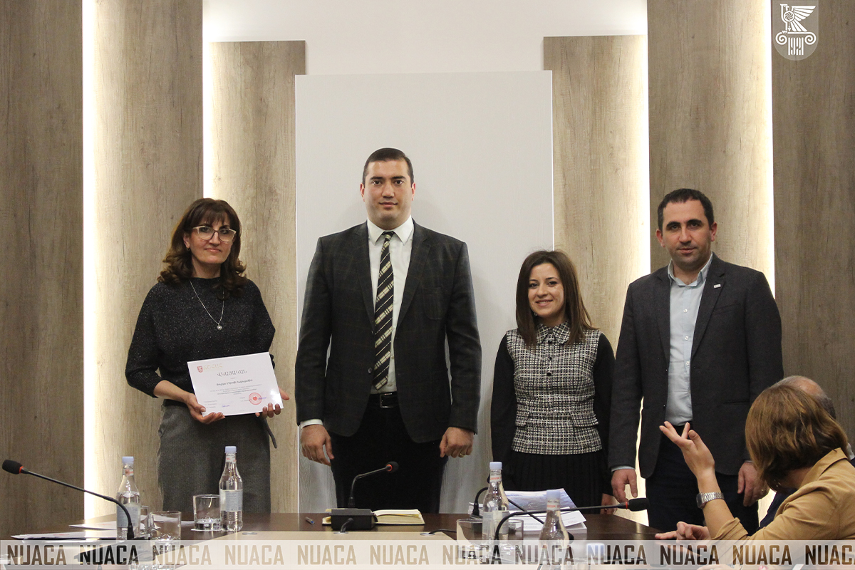
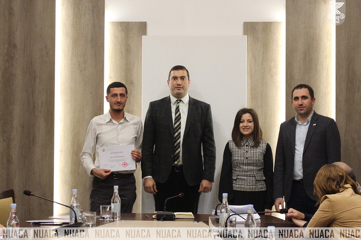
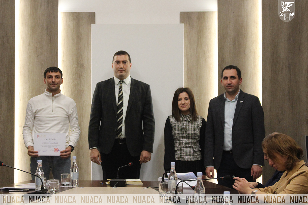
The certificate awarding ceremony was attended by NUACA Chief of the Staff Hovsep Hoveyan, the Head of Quality Assurance Center Varazdat Hovhannisyan, and the Head of the Innovation and Entrepreneurship Support Center Lusine Harutyunyan.
Varazdat Hovhannisyan welcoming the attendees, said: “We are happy to conclude the training courses today, our cooperation with the Cadastre Committee was successful based on the results of the first phase, and the second phase is currently underway.”
As Hovsep Hoveyan highlighted in his speech, cooperation with state agencies is crucial, as it serves not only the academic environment, but also accurately protects state resources. “Dear colleagues, let me congratulate you and thank you for the beautiful cooperation with the University. On behalf of the Rector of National University of Architecture and Construction of Armenia and myself, I attach great importance to such formats of cooperation, because the University values not only the transfer of academic knowledge, but also training within the framework of additional education. This day is notable not only for the completion of the course, but also for the fact that it marks the International GIS Day, which is directly related to the work of the Committee, for which I also congratulate you,” said Mr. Hoveyan.
Lusine Harutyunyan happily stated that she values the role of such events; it is very important that all this was entrusted to the University. It should be noted that the above-mentioned program was related to the training of specialists in geospatial data management, the main goal of which is to form and strengthen theoretical and applied knowledge of spatial data management among the employees of the Cadastre Committee, to introduce them with the theoretical and practical basics of geographic information systems and remote sensing technologies, as well as to contribute to facilitation of the data exchange between the Cadastre Committee and other public administration bodies, as well as increasing their credibility. A summary attestation was conducted, and based on the results, two groups were separated, the participants of which successfully completed the course with excellence.