(010) 303-300

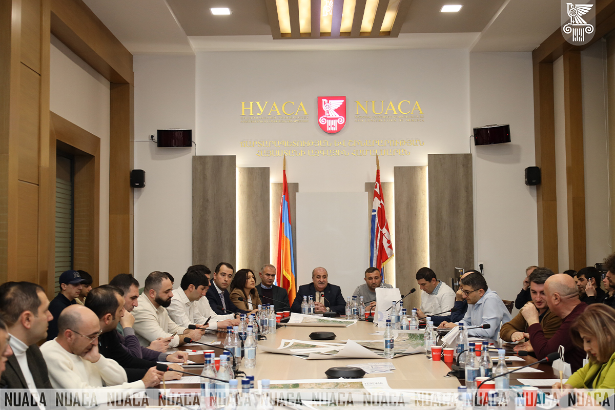
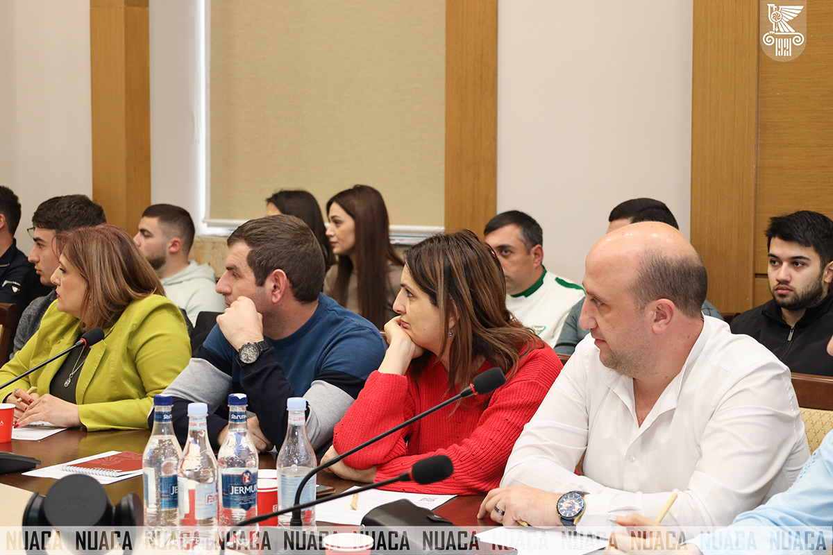
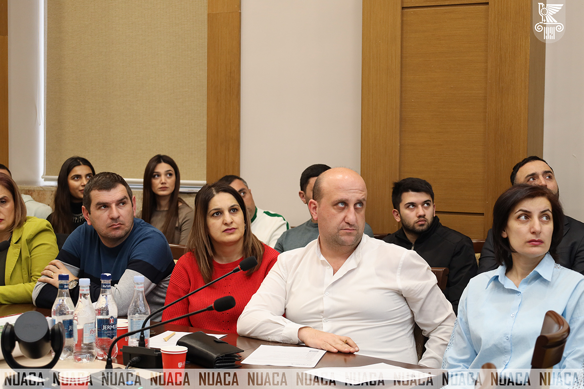
A professional seminar organized jointly by the University and Intergeotech LLC took place at National University of Architecture and Construction of Armenia (NUACA). The event gathered leading specialists in the field, scientists, young researchers, and students to discuss the practical and scientific potential of modern geodesy and geoinformation systems.
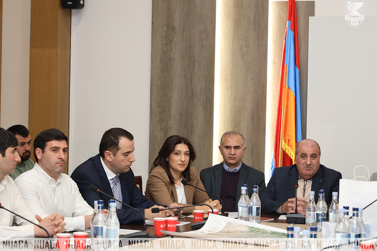
The Seminar started with an opening speech by the Dean of the Faculty of Urban Economy and Ecology of NUACA Valerik Harutyunyan: “In the era of information technology, geodesy and geoinformation systems have become not only scientific but also crucial practical fields. The challenges we face today demand innovative and smart solutions, integrated with modern technologies.
I congratulate you all for being part of this important initiative and wish you productive work, interesting discussions, and new discoveries.”
The Director of Intergeotech LLC Arthur Amiraghyan also delivered a welcoming speech, expressing gratitude to the University for the effective collaboration and organization of the Event:
“I am happy to see so many young participants who are interested in the topics of the Seminar. I extend my gratitude to our long-time partner, the University, for providing this important platform and contributing to the gathering of specialists in the field.
Our company consistently prioritizes collaboration with academic and scientific institutions. For us, it’s not only important to represent the field, but also to advance and promote its scientific foundations.
Today, geospatial technologies have long gone beyond the fields of Construction and Geodesy, finding applications in many other areas. This Seminar is another step towards broadening professional horizons and encouraging the introduction of scientific solutions.”
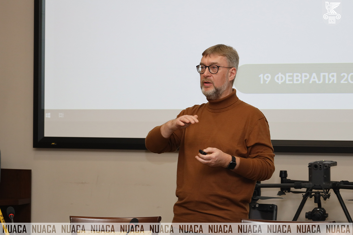
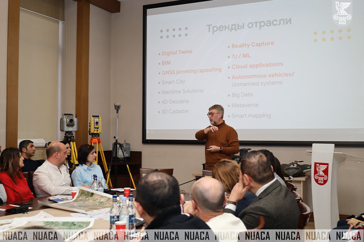
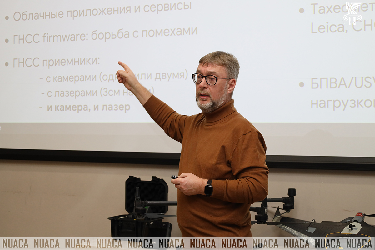
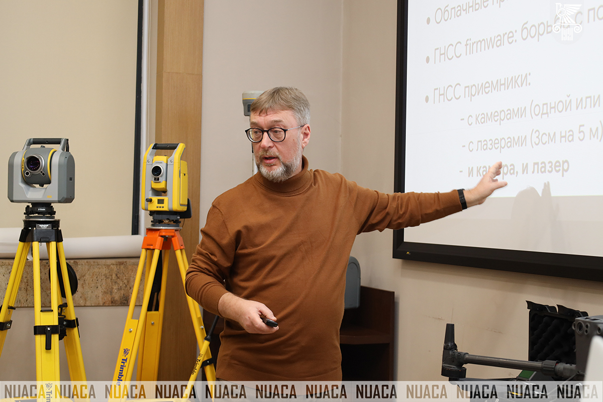
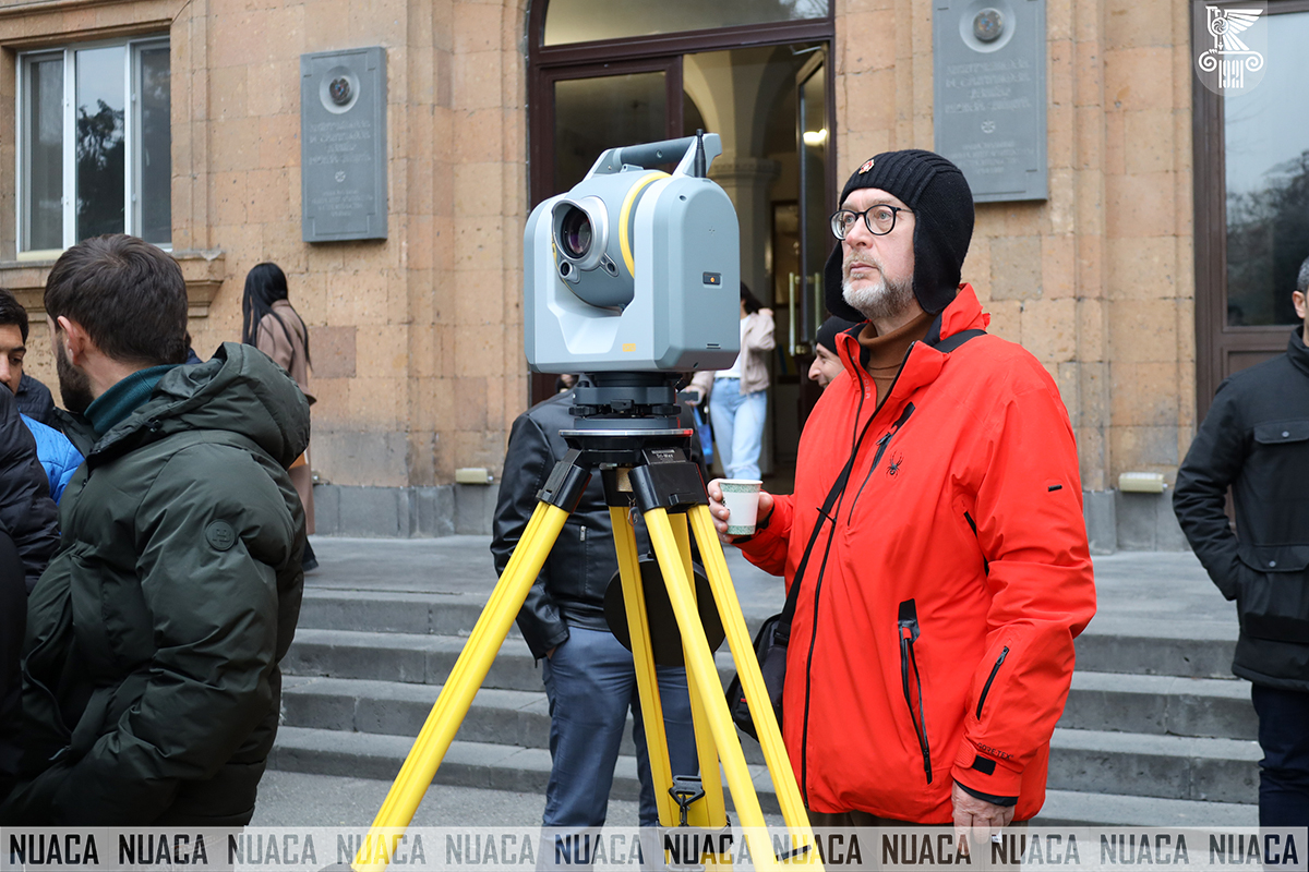
After the welcoming speeches, independent geodesy expert Mikhail Karavanov shared his professional experience. Mr. Karavanov has taught for many years at the Chair of Geodesy at the Moscow State University of Geodesy and Cartography, contributing to the professional development of the field.
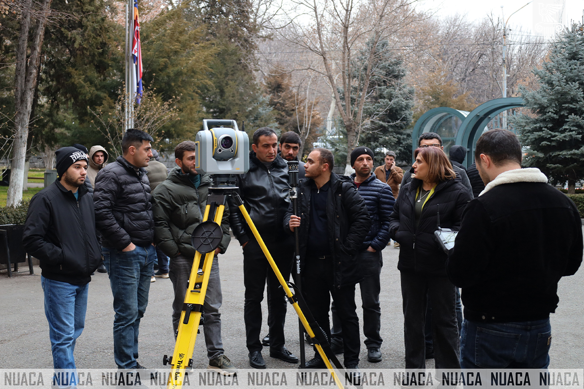
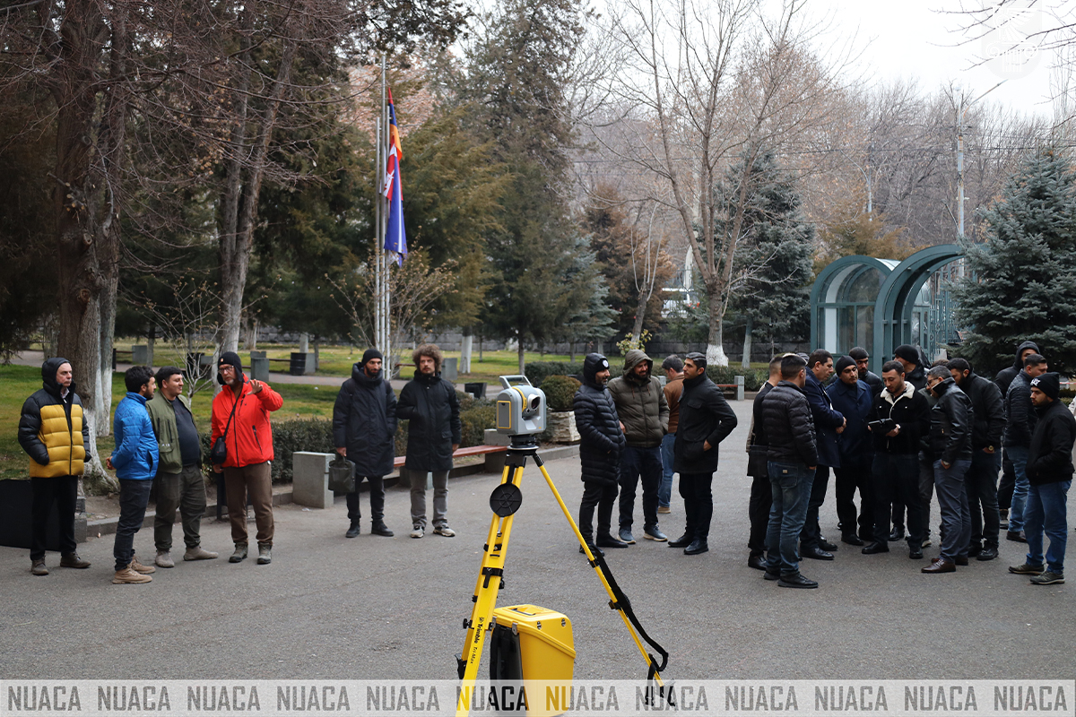
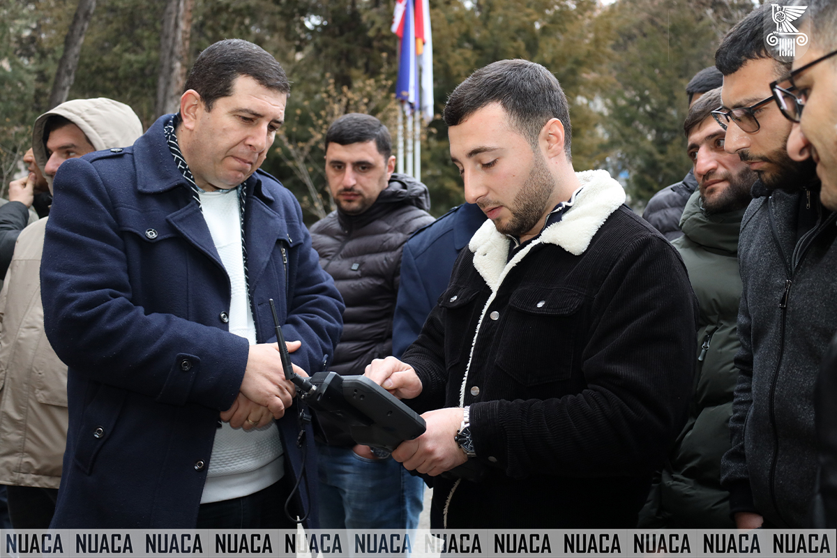
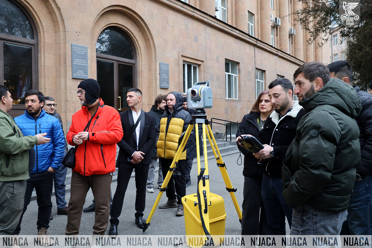
During the Seminar, there was a demonstration of geodetic instruments, after which participants had the opportunity to work with the Trimble SX 12 device, which was purchased within the framework of the SMARTLAB Project “Providing Smart Solutions for Modeling, Design and Management of Engineering Systems and Increasing the Efficiency of Academic Programmes by Furnishing them with Laboratory Testing Devices” implemented under the CIF round of the Loan Agreement “Additional Financing of the Education Improvement Project”. The participants were engaged in practical activities and got acquainted with the results.The Event concluded with a raffle, which enhanced participant involvement and created a positive atmosphere.