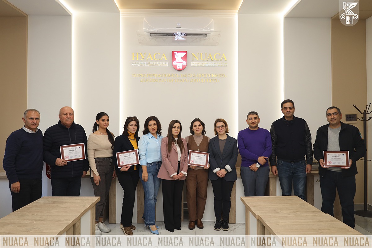


The courses on “Geo-visualization” and “Digital Earth”, jointly organized by NUACA Innovation and Entrepreneurship Support and Grant Department and the Chair of Engineering Geodesy ended. The courses are being implemented within the framework of the “Digital Connection of Real and Virtual Environments” (DEVision) project.
During the Project, participants got acquainted with the digital technologies and learned to apply digital technologies that contribute to environmental management, spatial planning, and data analysis, understood the basics of GIS, particularly the application of databases in major software packages (ArcGIS Pro, QGIS, Google Earth Engine, and SNAP), were able to classify, analyze, and edit spatial data, as well as create basemaps.
Acting Head of the Chair of Engineering Geodesy Anush Margaryan congratulated all participants and expressed hope that the Project will be continuous, and the knowledge acquired within the framework of the Course will contribute to the development of specialists in the field.
Participants who successfully completed the Course were awarded with certificates.