(010) 303-300

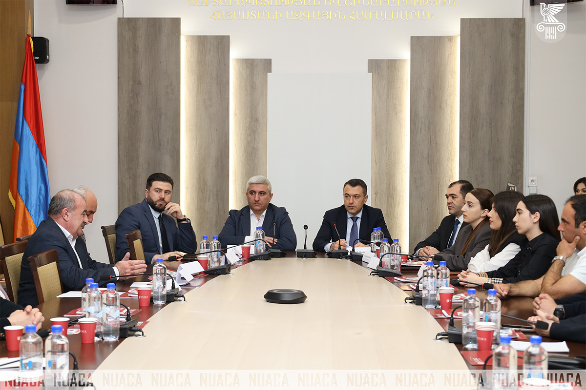
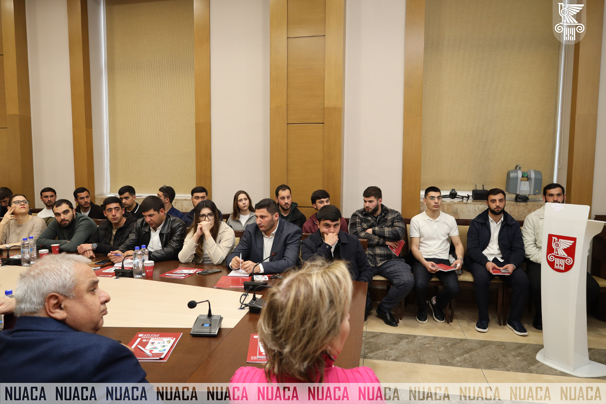
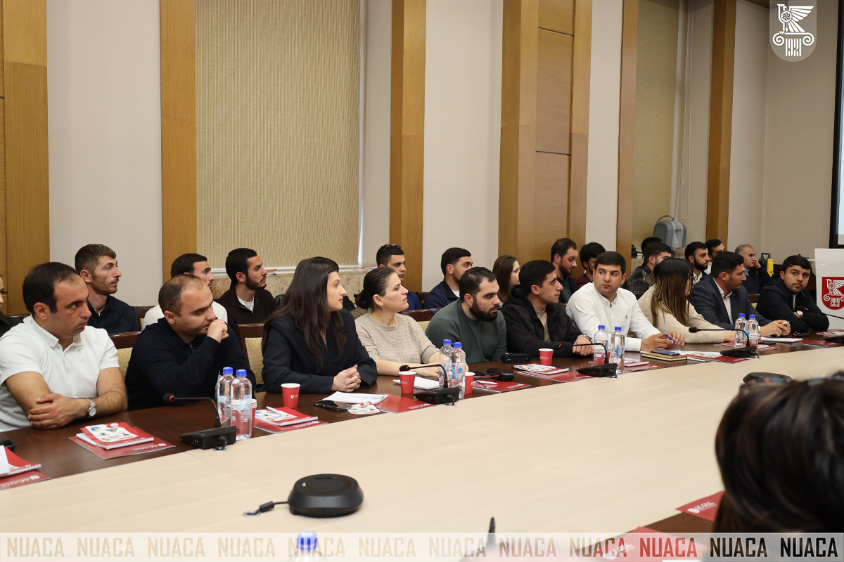
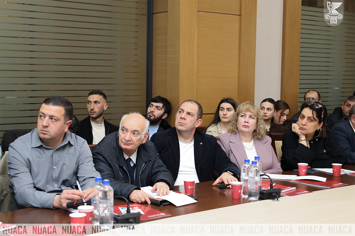
A professional workshop dedicated to the International Day of Geodesy was held at National University of Architecture and Construction of Armenia, which brought together specialists in the field, lecturers and students to discuss the trends and challenges of the development of modern geodesy.
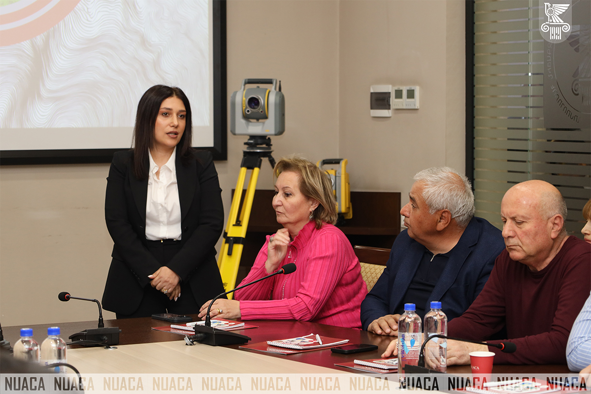
The participants were welcomed at the launch of the Workshop by Rector of the University Manuk Barseghyan. He attached importance to the role of such professional meetings in strengthening the interaction between education and the state system and noted: “Attaching importance to the role of geodesy in the development of the country’s economy, I would like to extend my congratulation geodesists on their professional holiday and wish them new achievements. We are carrying out joint work with the Cadastre Committee to develop and modernize academic programmes, which breathes new life into education , as well as research and scientific work from an applied point of view. This Workshop is a good platform for bringing together scientific thought in the field, for a broad discussion of professional issues and for presenting state programmes.”
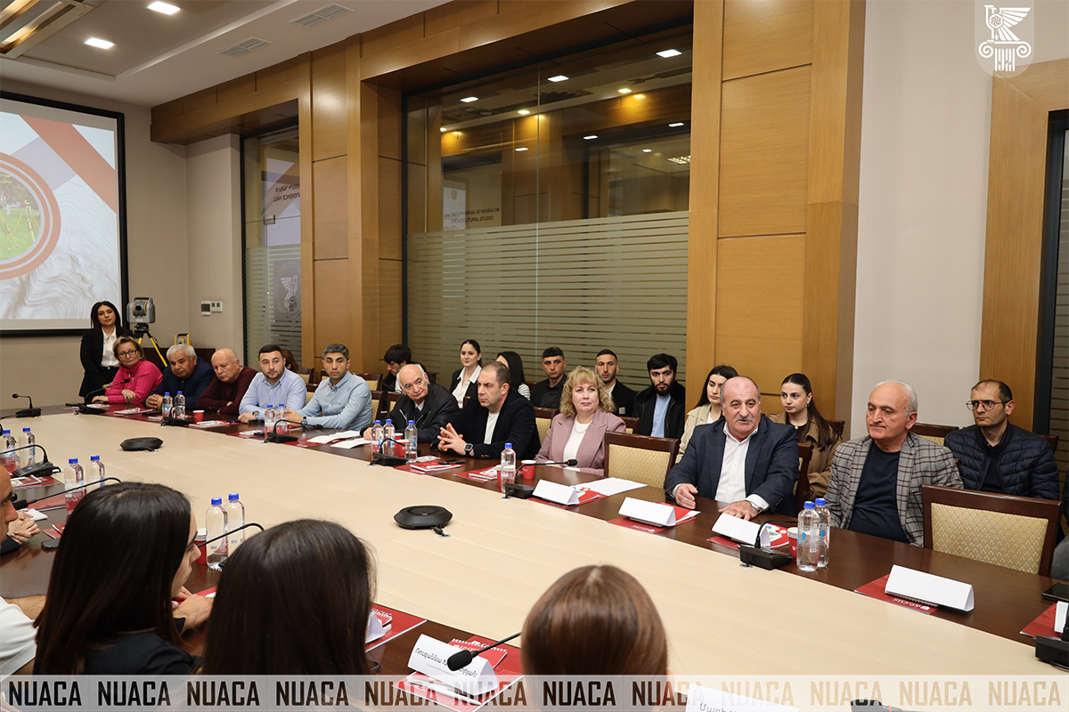
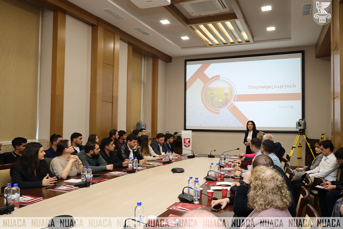
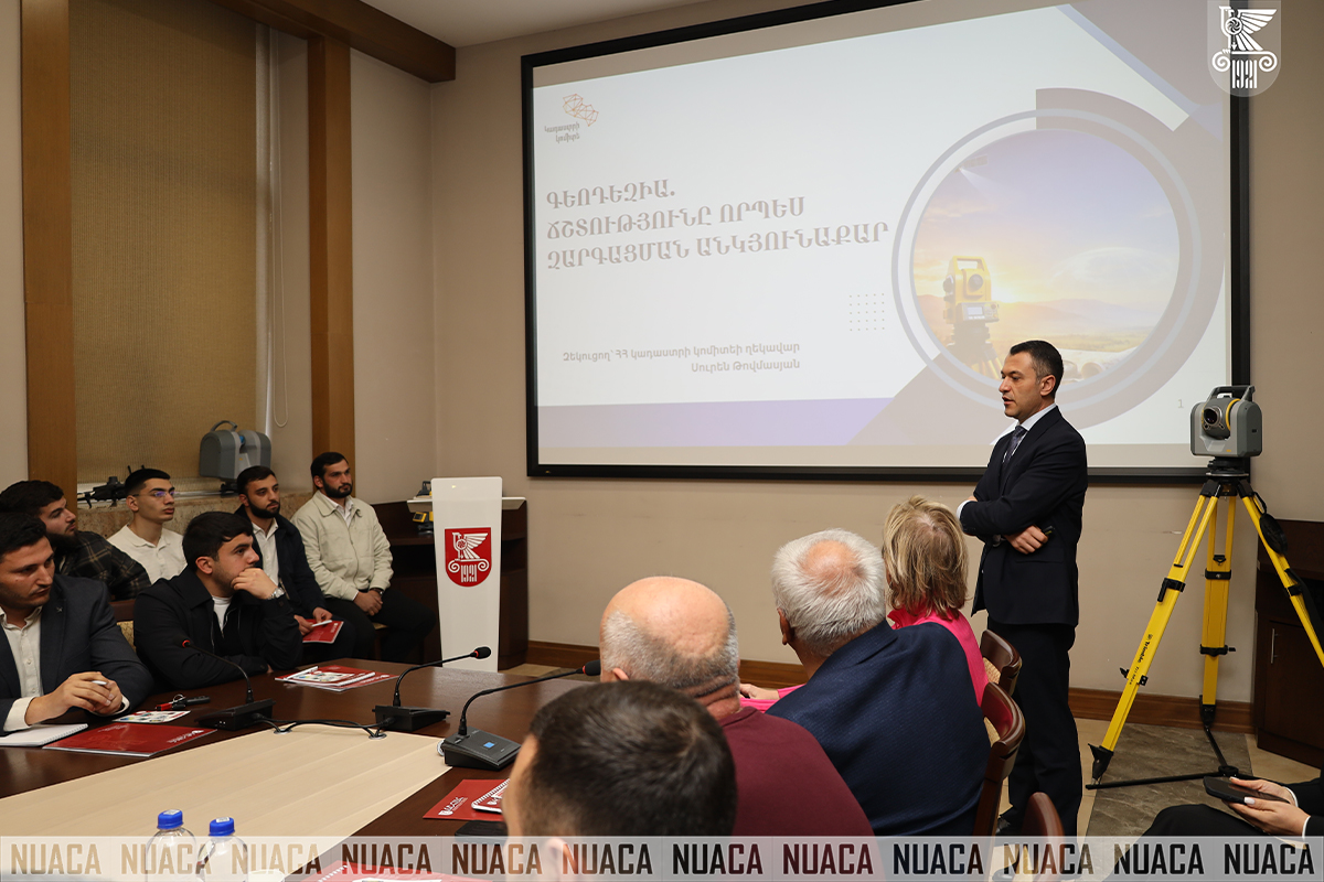
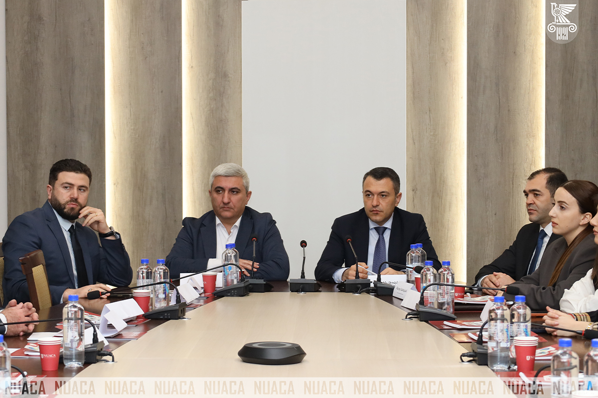
Within the framework of the Workshop, Head of the RA Cadastre Committee Suren Tovmasyan delivered a keynote speech. Representatives of the academic staff and students of the Chair of Engineering Geodesy were also present at the Meeting.
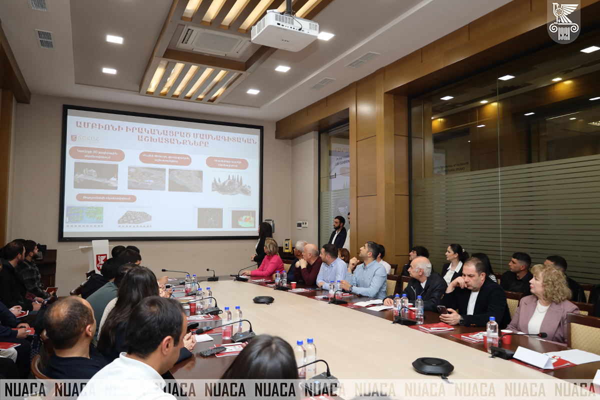
In his report, Mr. Tovmasyan noted that geodesy has now gone beyond its classical boundaries and is no longer limited to measurements and mapping. According to him, it is becoming a fundamental pillar of public administration, forming the data-based basis for territorial policy, infrastructure planning and strategic decision-making.
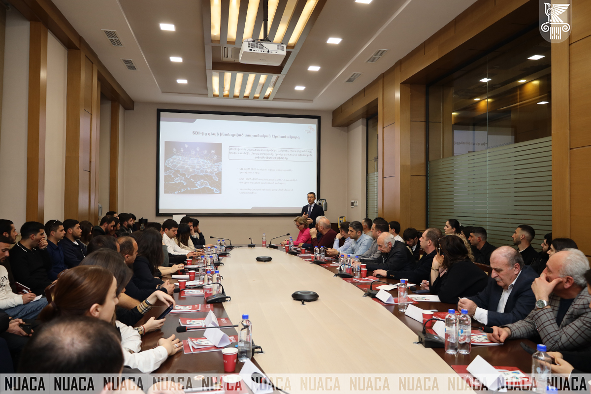
The report also attached importance to the implementation of steps in line with international trends, transitioning from spatial data infrastructures to integrated spatial ecosystems, where data is considered a public value and an effective management tool.
Separate attention was also paid to the prospects for the application of artificial intelligence in the geodetic field. It was noted that the effective application of AI technologies is possible only in the presence of high-quality and standardized data, unified classifiers and clear metadata.
The digitization processes implemented by the Cadastre Committee, which are aimed at creating a unified data environment, ensuring data interoperability and increasing access to services, were also presented. The integration of spatial data with other state systems was particularly emphasized, which allows for evidence-based decision-making and increases the effectiveness of interagency cooperation.
A roundtable discussion was also held within the framework of the Workshop, during which the participants had the opportunity to present their professional observations, suggestions and ask questions to Suren Tovmasyan, forming an effective professional dialogue.