(010) 303-300

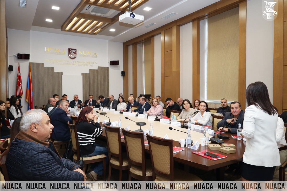
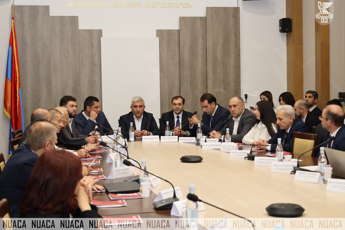
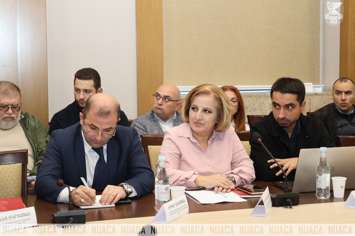
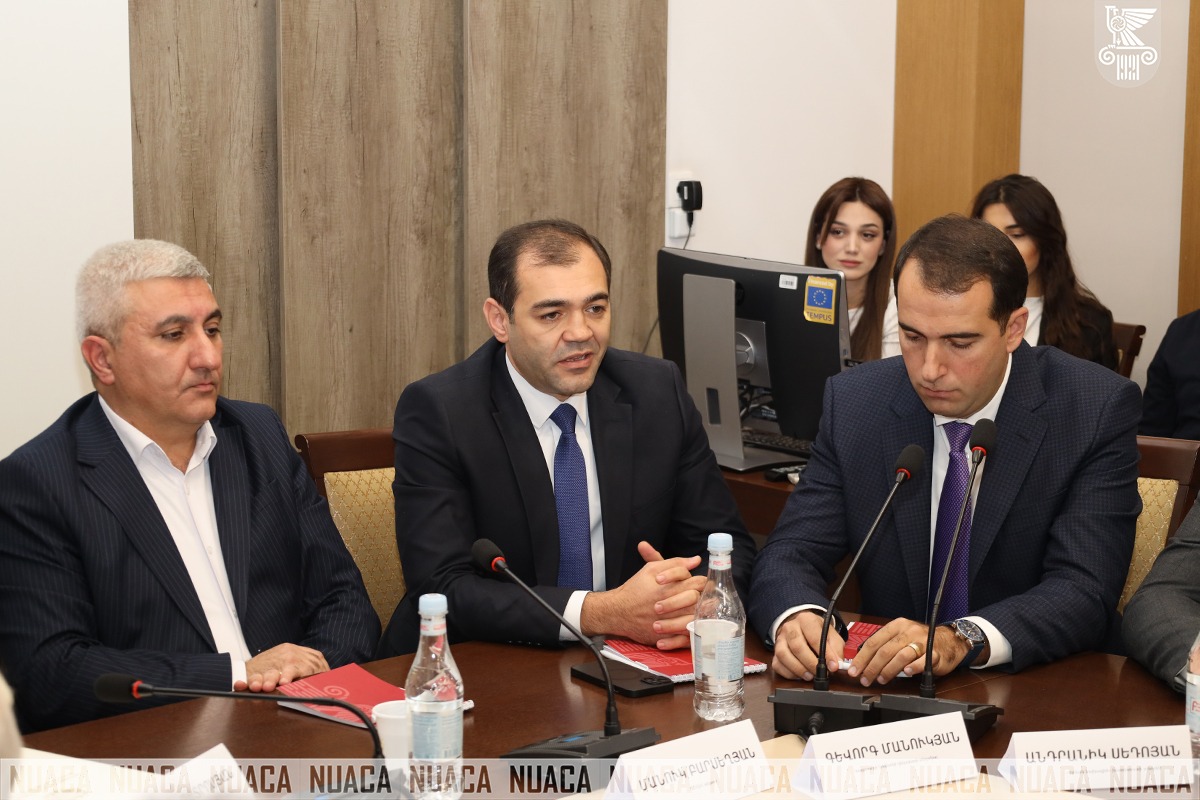
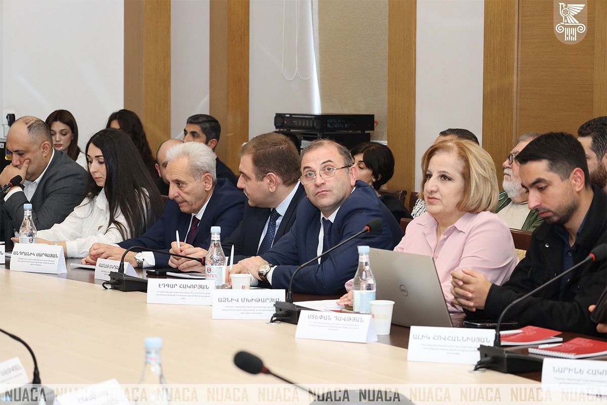
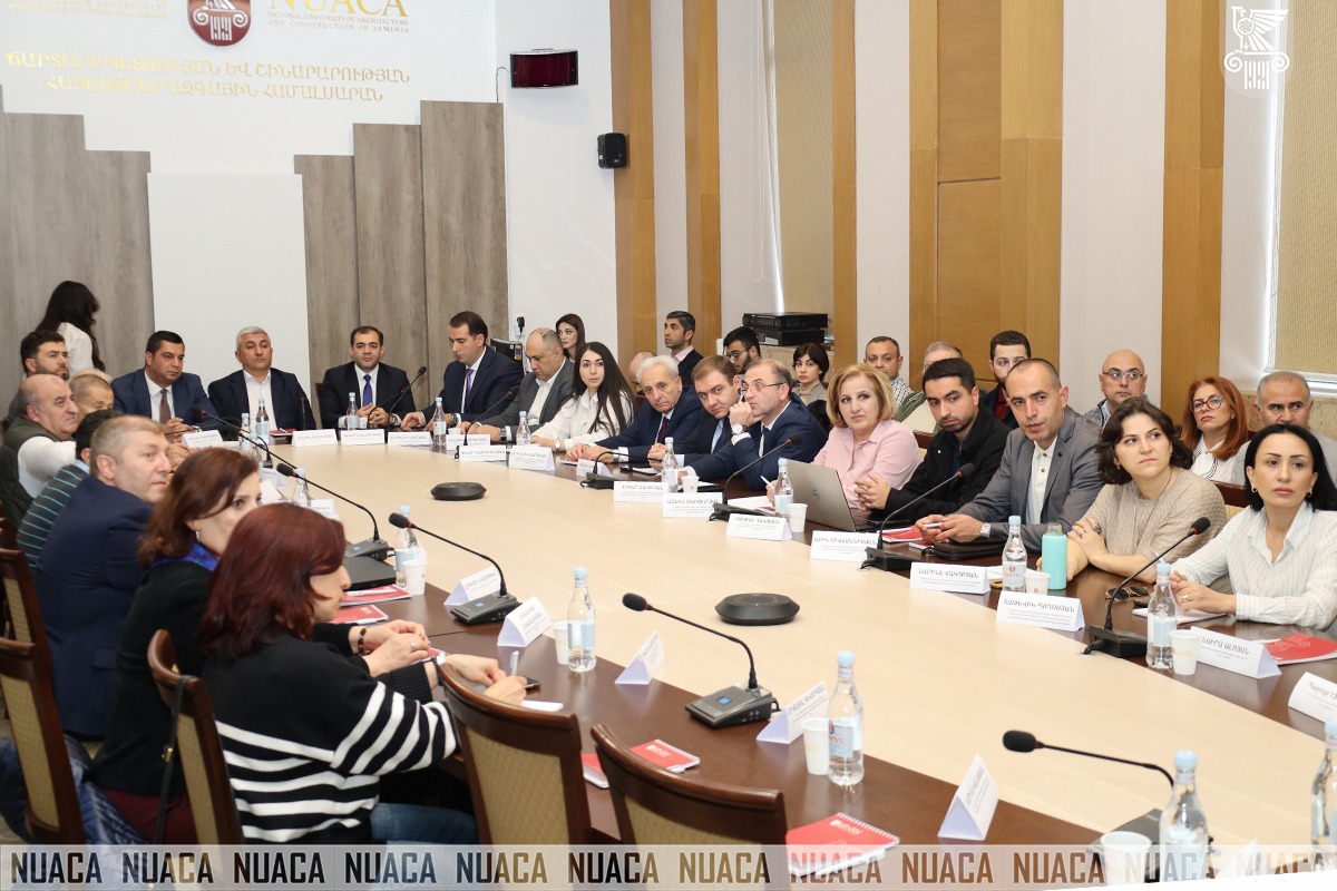
A workshop dedicated to the International “Geographic Information Systems (GIS)” Day was held at National University of Architecture and Construction of Armenia. The event was attended by NUACA Rector Manuk Barseghyan, Deputy Chairman of the Urban Development Committee Arman Petrosyan, Deputy Head of the Cadastre Committee Gevorg Manukyan, Director of the “Yerevan Project” Institute Andranik Sedoyan, representatives from the Yerevan Municipality, the Ministry of Economy, the Ministry of Territorial Administration and Infrastructure, the Ministry of Environment, the Ministry of High-Tech Industry, the Ministry of Health, the Ministry of Internal Affairs, the Statistical Committee of the Republic of Armenia, and the National Academy of Sciences of the Republic of Armenia, as well as NUACA lecturers, students, specialists in the field, and guests.
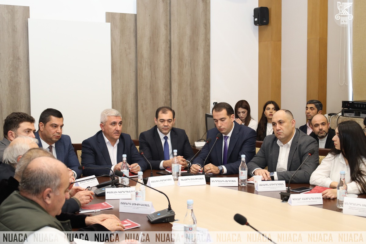
The Workshop launched with a welcoming speech by NUACA Rector Manuk Barseghyan: “Dear colleagues, attendees, I extend my congratulations to you on the International Geographic Information Systems Day. Today, the whole world attaches importance to the use of GIS in various fields. I am proud to note that at our University, GIS is already being used in Construction, Architecture and other fields, achieving successful scientific and research results. We continue to support students and young people, promoting their participation with internal grants, as well as actively developing academic programmes. Once again, I congratulate all of you, wishing you an effective work process, and I would like to see a conference in this direction next time and the presented works also contain research and scientific innovations, for which the University will also encourage.”
Deputy Head of the Cadastre Committee Gevorg Manukyan delivered a welcoming speech: “On behalf of the Cadastre Committee, I welcome this Workshop dedicated to the International Geographic Information Systems Day. The introduction of GIS is important throughout the world and in our country, as it is absolutely necessary for the creation of complete information systems. The Committee is constantly developing the integration of geographic data and ensuring their general accessibility, supporting the principle of accurate decision-making in public administration through innovative tools.”
Deputy Chairman of the Urban Development Committee Arman Petrosyan also delivered a welcoming speech: “I extend my congratulations to you on the occasion of the International Geographic Information Systems Day. Effective management of spatial data increases transparency and work efficiency. I am convinced that this Workshop will contribute to the strengthening of effective cooperation between educational organizations, private companies and public administration systems, which will stimulate the introduction of innovative and applied solutions in the field of Geodesy.”
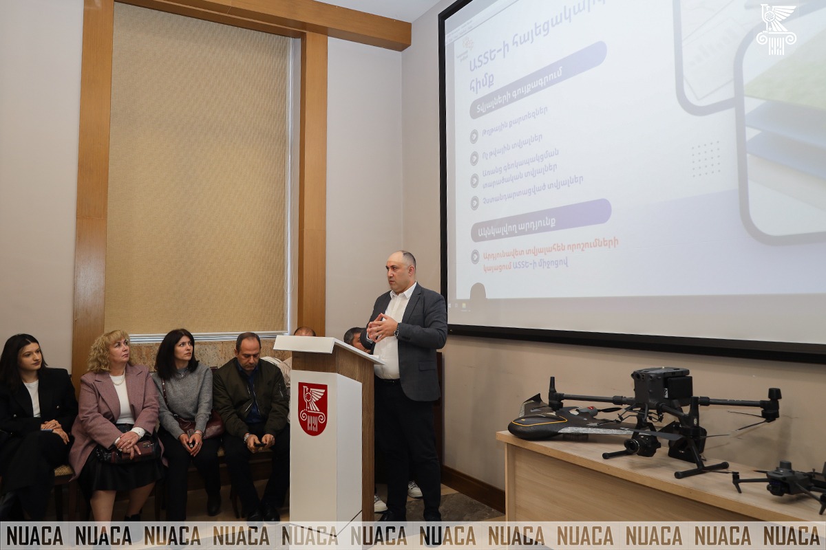
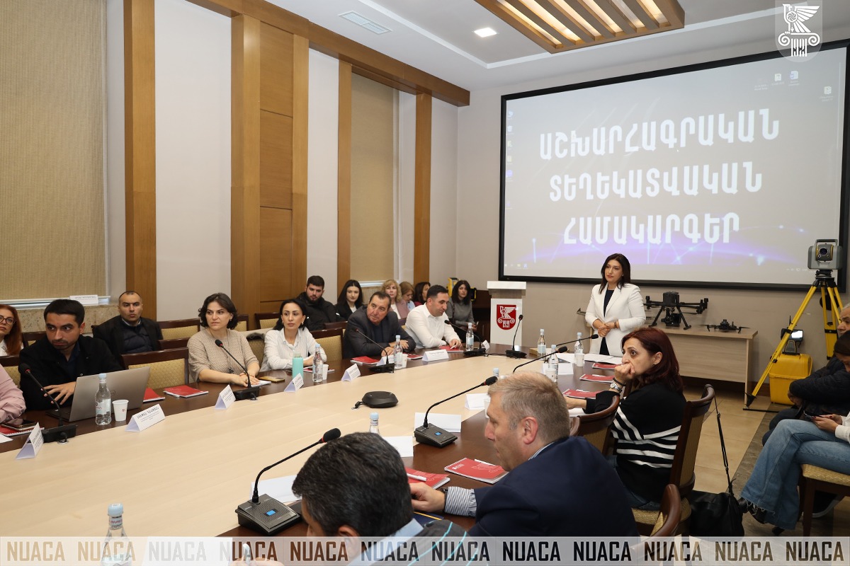
At the Event, presentations were delivered by the Head of the Chair of Engineering Geodesy Anush Margaryan, Head of the Geodesy and Land Development Department at the Cadastre Committee Vahagn Muradyan, Information Technology Service Specialist of the Department of Housing Fund Management and Communal Infrastructure of the Urban Development Committee Khachik Gebeshyan, Deputy Head of the Department of Land and Subsoil Policy of the Ministry of Environment Narine Hakobyan, Expert of the Department of Agricultural Extension and Innovation of the Ministry of Economy of the Republic of Armenia Stepan Davtyan, Specialist of the Technology Management Center of the Yerevan Municipality Mashtots Avetisyan, GIS Analyst Stepan Khachatryan, Co-Founder of “Geovibe” CJSC Erik Gyulazyan, and Director of Hyphen 4 Syune Arakelyan.
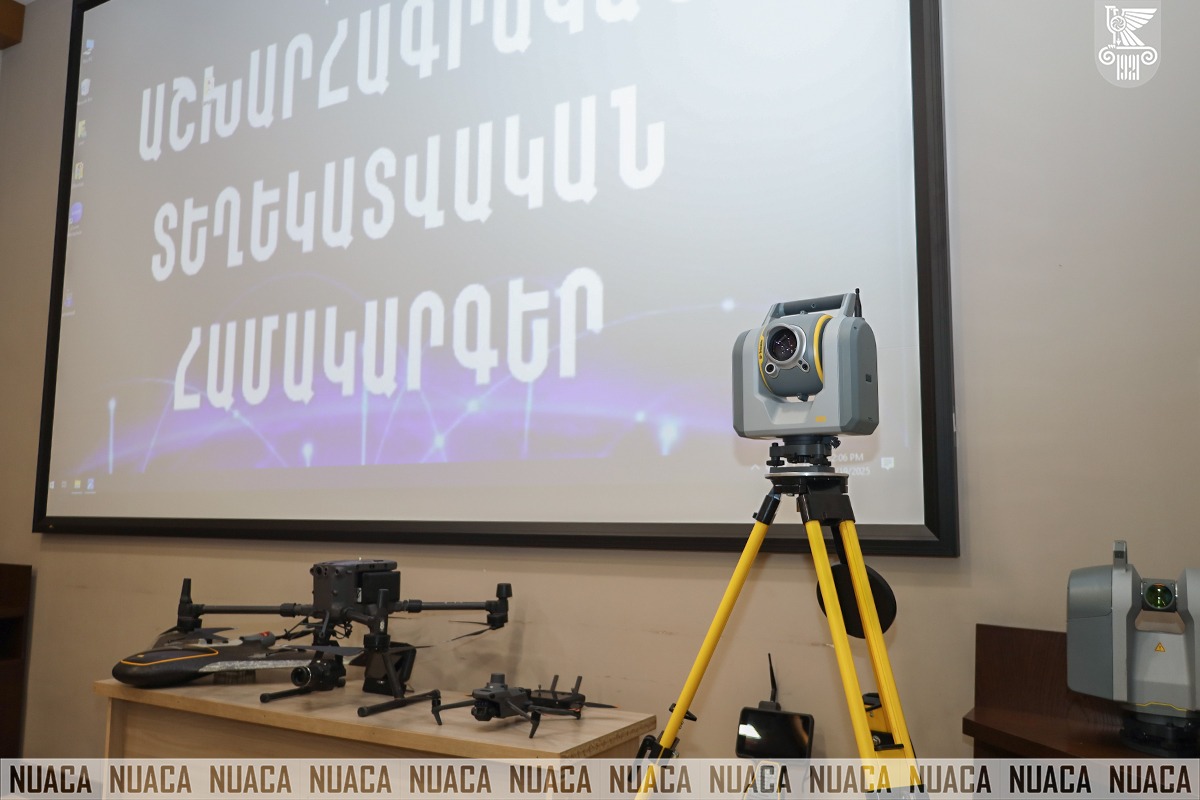
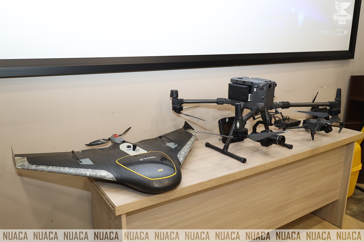
The Workshop helped specialists in the field to become familiar with the applications and development trends of GIS in practice and in public administration systems. The event also served as a platform to make the modern laboratories and educational processes of the University more inclusive and accessible to students, representatives in the field of education, specialists in the field, and government bodies.