(010) 303-300

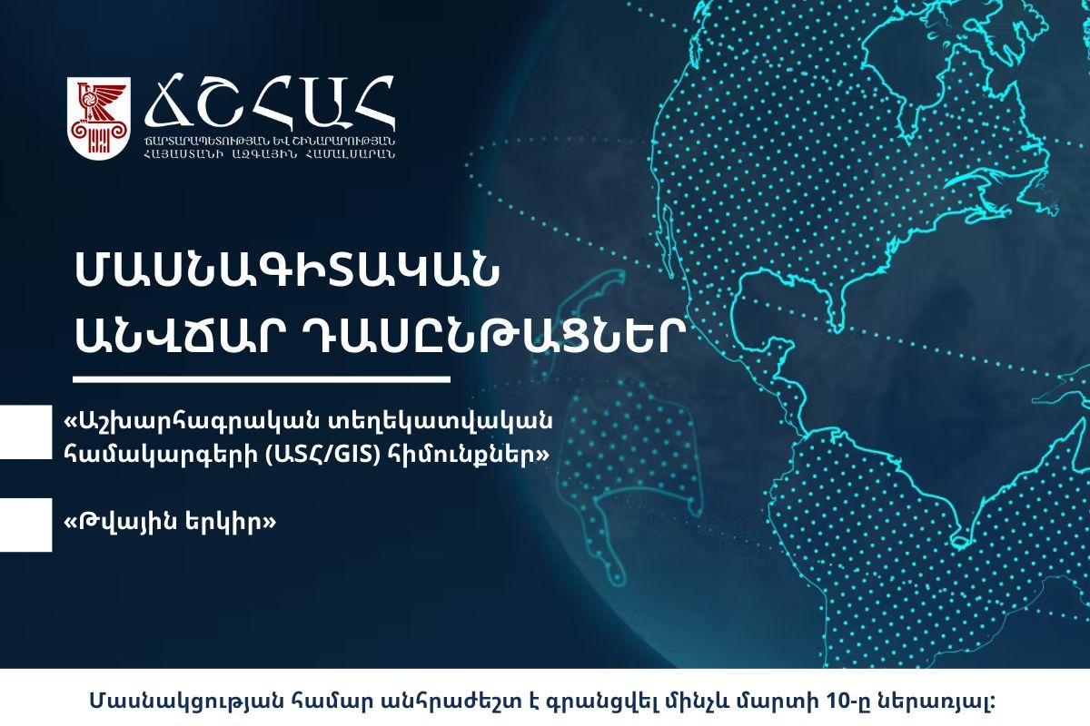
National University of Architecture and Construction of Armenia announces that the Chair of Engineering Geodesy is launching the second stage of the courses on the topics of “Geo-visualization” (Fundamentals of GIS) and “Digital Earth”. The Courses are organized within the framework of the “Digital Connection of Real and Virtual Environments” (DEVision) project, which is funded by the APPEAR programme of the Austrian Development Agency.
The Courses are intended for participants of the I stage, as well as other specialists who possess a foundational knowledge of GIS and want to deepen their knowledge in that field.
The classes will be held on Wednesdays and Thursdays from 6:30 p.m. to 7:30 p.m. on “Geo-visualization” (Fundamentals of GIS), and on Tuesdays and Fridays from 6:30 p.m. to 7:30 p.m. on “Digital Earth.”
At this stage, participants of the Course will acquire knowledge about working with raster data and spatial processing tools.
In order to participate, please go through the following link.
The deadline for registration is March 10 including. The Courses will take place from March 10 to April 7. For more details please go through the following link. In case of questions, please call at tel.: 010-303-300 (extension number: 2-59) or email geo@nuaca.am.