(010) 303-300


NATIONAL UNIVERSITY OF ARCHITECTURE AND CONSTRUCTION OF ARMENIA
University with a 100-Year History

Provided by: National University of Architecture and Construction of Armenia (NUACA)
Duration: 18-22 June, 2018
Registration period: 20 May – 15 June, 2018
Workload: 1,5 credits
Language: Armenian
Course Developer
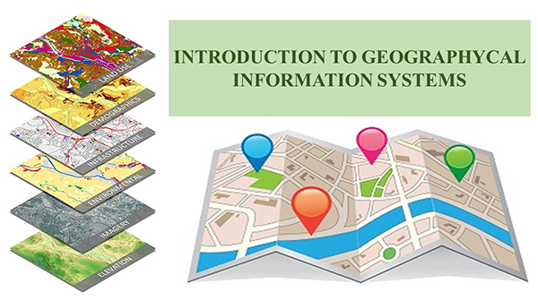
The “Introduction to Geographic Information System” short training course has been developed by the faculties of NUACA within the HERITAG Erasmus+ Program of the European Union.
Purpose and Objectives
The purpose of this course is to provide trainees with basic GIS concepts such as spatial data sources and structures, projections and coordinate systems, data editing and creation, and geospatial analysis.
The key objectives of the short training course is to provide trainees with: